Many of you know that one of my true passions is the weather and especially tracking Tropical Cyclones.
So far the 2019 Hurricane season has been extremely quiet. It’s been one of the least active August’s on record.
However, as they say all good things must come to an end.
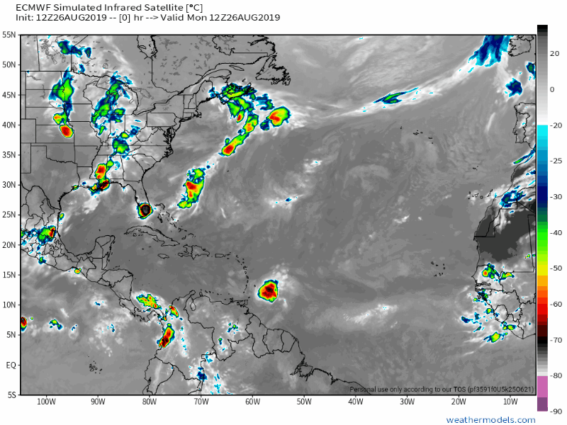
Dorian is churning out in the Atlantic Ocean as a small Tropical Storms with winds at 60mph moving WNW. Some strengthening is expected over the next few days as the storm approaches Puerto Rico as a Cat 1 Hurricane.
After the storm leaves Puerto Rico is when the uncertainty in the forecast begins.
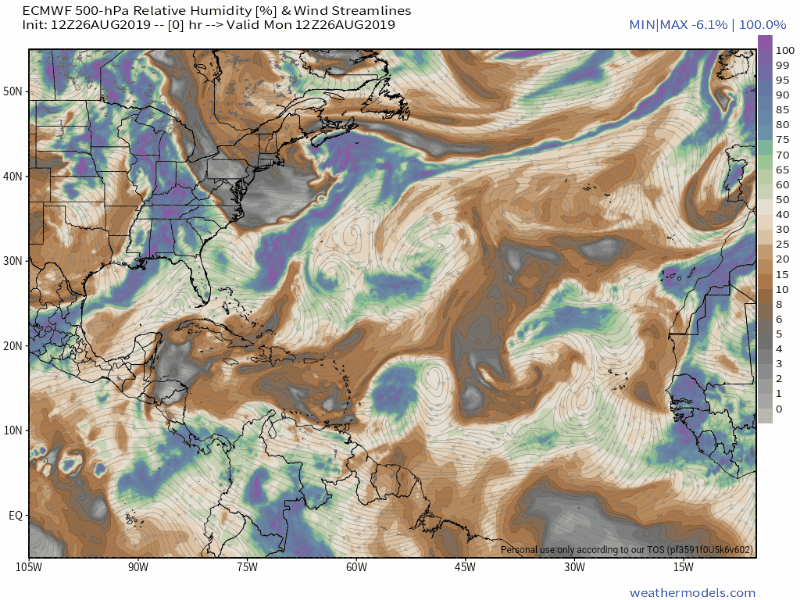
As of now the Tropical Storm or minor Hurricane is expected to follow a strong high pressure system to it’s North.
At this time it looks like Dorian will go over North Eastern Hispañola and miss most of the higher mountains.
The system should be weaker and be heading towards the Bahamas as a Tropical Storm by Friday Aug 30th and Sat Aug 31st.
The question right now is does Dorian intensify over the very warm waters between the Bahamas and SE Florida? There is a low pressure system that will be digging South as Dorian approaches the Bahamas and this will have an effect on Dorians intensity and path.
Right now “MY” best guess and projection is either a strong Tropical Storm or Cat 1 Hurricane hitting SE Florida, anywhere from Miami to Palm Beach over the Labor Day weekend, most likely late Saturday night into Sunday morning.
I don’t see a Hurricane stronger than a Cat 1, but these storms have been known to blow up and anything can happen.
I would advise all of my friends in Florida, especially South Florida to be prepared just in case.
This is a good time to have your Hurricane preparedness ready and not wait until the last minute.
There is no need to put up your shutters or anything of that nature, just have your Hurricane plan ready to execute just in case.
Again, I don’t anticipate a large storm at this time, but I do expect a Tropical Storm or Cat 1 Hurricane in our general vicinity sometime this weekend.
Hopefully the mountains and upper level winds tear Dorian up and all we have is some rain and a few gusty winds in South Florida this weekend.
I have attached the latest NHC cone and a few models I use for tracking that I trust.

I will keep updating this Blog for updates on Dorian on a daily basis.
OG

Orly,
I remember the complacent people had about Andrew in 1992. We had not been hit by a major storm since Donna since 1965. The storm was devastating and a lot of people lost home and unfortunately some lost life. I left Miami in July 1997 but will never forget the devastation the storm left in it’s wake. Board up, hunker down, or get the heck out if a Cat 4-5 hits the state.
LikeLike